This part of the drive was interesting to me because they were "new roads" - I'd never gotten quite this far before on my day trips out of Austin. I used to explore the back roads of western North Carolina like this when I lived in Atlanta. North Georgia was nice, but western Carolina - that was always my favorite.
The Hill Country has it's own treasures, of course, but they make you hunt for them in a way that the Smokys never did. Here, the season or the time of day or an odd looking sky or a strange lighting condition makes all the difference. And, if there were no fence lines out here, or windmills, there'd be precious little to shoot.
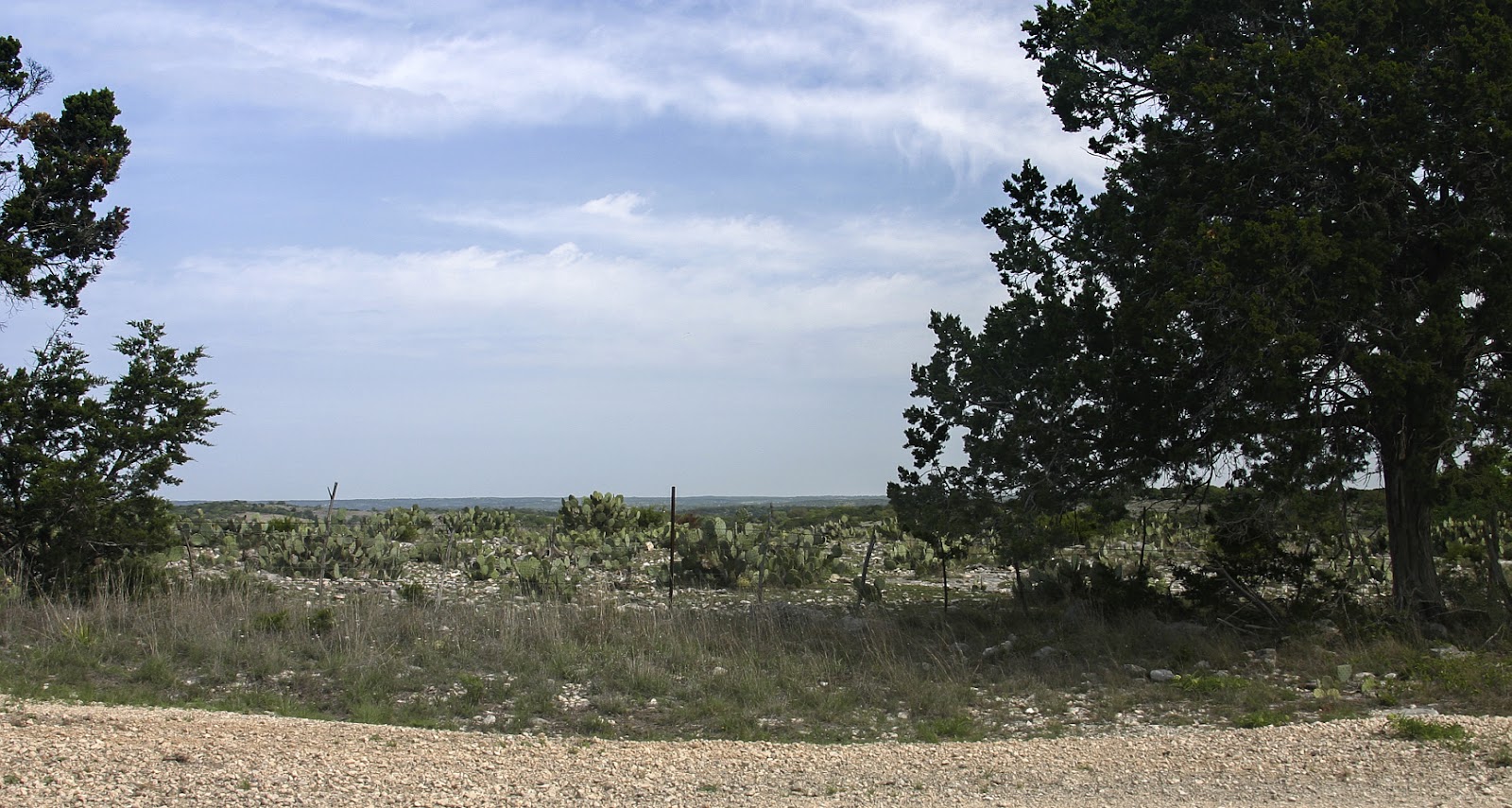
The nature of the geography here changes so quickly. This image gives you an idea of the long views you'll find in west Texas. Both of these first two shots were taken on US 377 between Mason and Junction, Texas. This far west, what surprised me was the amount of green in evidence.
That's Junction, past the ridge on the north side of the bridge. I could spin a tale that the promontory itself drew me to this spot south of town. But the fact is, when I was driving through the little burg I spied a local gendarme, hiding in plain sight, on the lookout for Saturday morning speeders. By the time we were no longer of interest to each other, I was headed out of town on the wrong highway. When I turned around and started to retrace my tracks, I discovered the overlook. Those folks on the next ridge over have a pretty good view.
Back on the right road, the geography's changing again. I'm headed south, still on 377. The highway weaves around, generally following the South Llano River upstream to Rocksprings. If you're not paying much attention to the types of trees and the limestone under foot, this could almost fool you into thinking you were in the southern Appalachians. Of course, you'd have to add 4 or 5 more ridgelines of 2D mountains in the distance.
I'm driving, driving, driving. . . okay, another change. A volcano or pyramid in the distance. . . no, neither. That's Crown Mountain, due east of Camp Wood, off of Ranch Road 337 W. It reminded me of my accidental first trip to Canyonlands National Park in Utah: specifically, the subject mountain in the 5th picture on
this page.
Are you back? After I considered Crown Mountain for a few minutes, I noticed how much prickly pear cactus there was in these pastures and was reminded of the old saw that, everything in west Texas either bites, stings, or has thorns. Any of you familiar with Asheville, NC? Just left of Crown Mountain is Real County, Texas' version of Pisgah and the Rat.
Just when you start to get comfortable with the terrain, it changes. Several miles east of the previous picture, looking north, you have a nearly flat horizon - but you were just surrounded by mountains. . .
Oh, I see. Looking south you still have that flat horizon, but now you notice that all the many terrain features here are "negative". Negative mountains; who'd've thought?


No comments:
Post a Comment